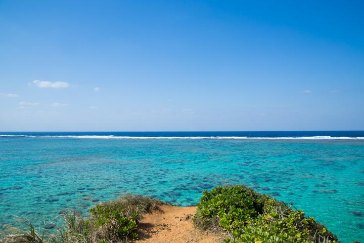
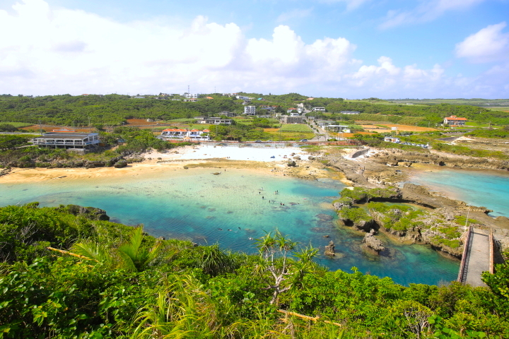
あなただけの「沖縄」を見つける
よみもの Reading Material
特集 Feature
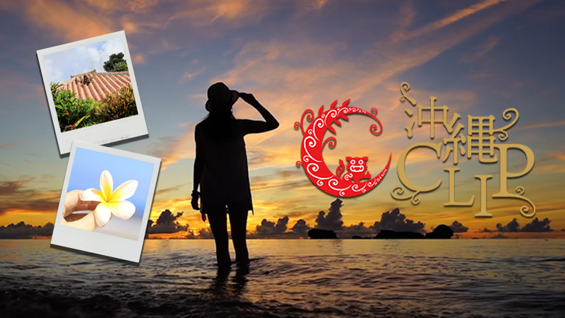

私たちの想い Our Vision
沖縄CLIPとは、沖縄にくらし、沖縄を愛する編集部とライターが、
あなたの旅を豊かにする厳選した情報をお届けする観光メディアです。
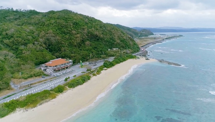
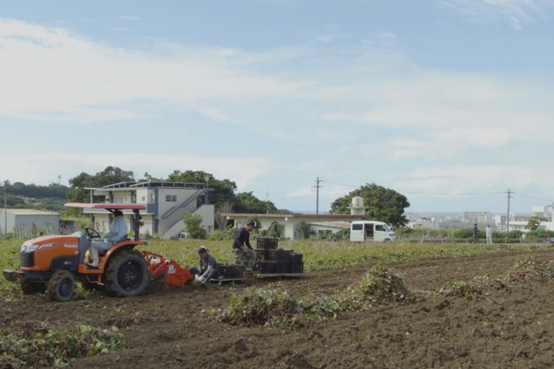
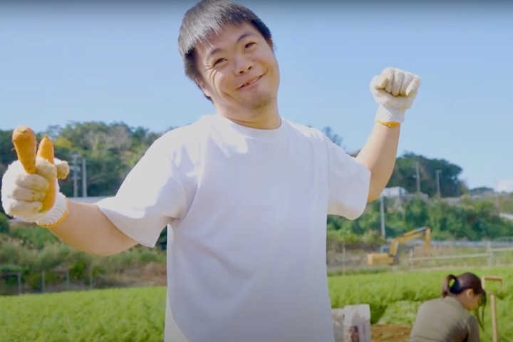
私たちが暮らすこの島の豊かな自然や文化、人々の心(ちむぐくる)を、
ライターが取材した文章と美しい写真で世界中へ発信し、
より深い沖縄ファンを増やしていくことを目指しています。